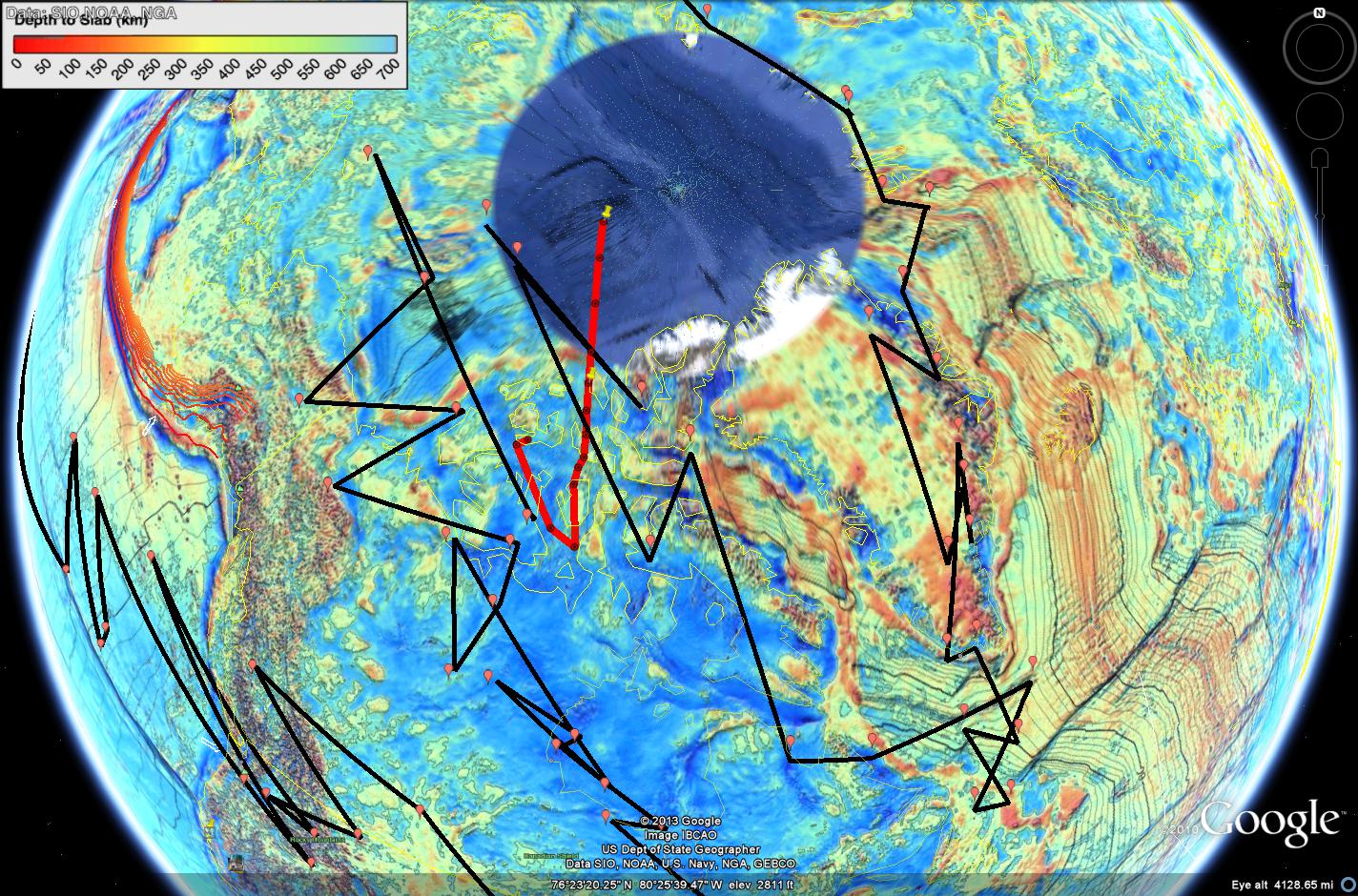
I was travelling the world as I often do in Google Earth, pondering how strange it is that the Hawaiian Seamount chain created a gravity low its entire length, when I noticed this:
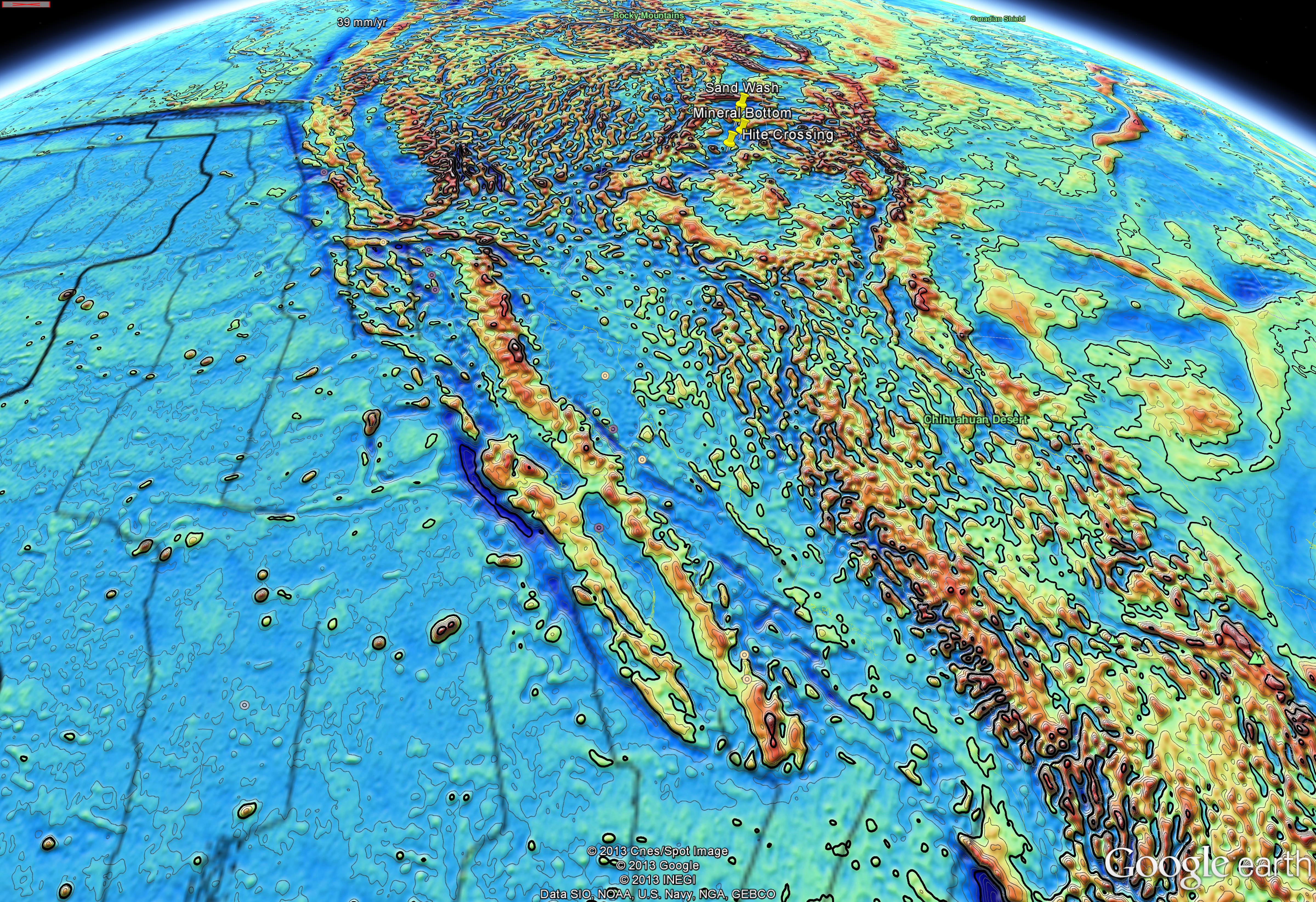
Probably just because gravity lows are a nice deep blue and when you look at this on a regular map the Sea of Cortez is blue of course, but the Great Valley is green or brown and it is harder to see the similarity.
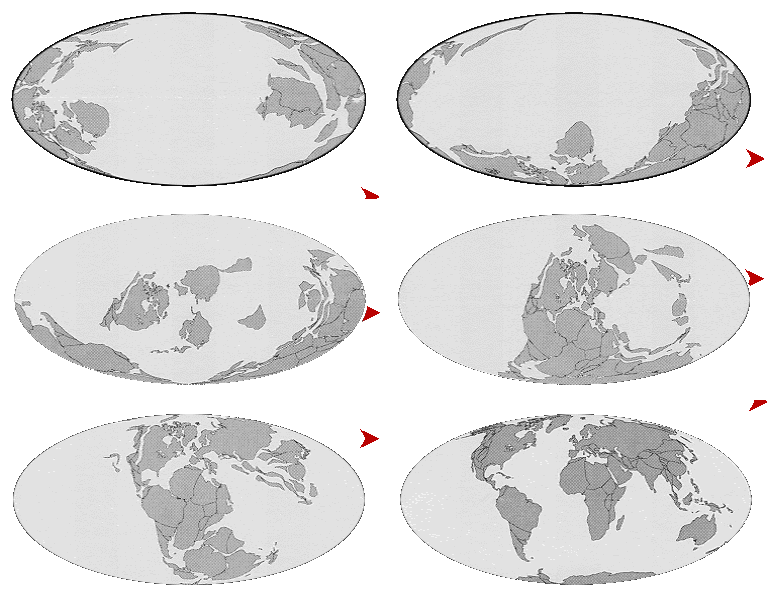
It makes nothing but sense. North America has been in the vanguard of the advance of continents to reclaim the planet from the Panthalassic Ocean since the breakup of Pangea. Strike slip conditions like those that cause the San Andreas Fault today have prevailed for most of this period. Huge chunks of western North America are paleomagnetically out-of-place and the subject is so controversial that geologists are required to check their hammers at the door when they meet to discuss it.
It is safe to say that generally slivers have been getting ripped off and sliding northward relative to the continent for a very long time. What seems to have happened is active spreading moved further south and the San Andreas system moved Baja California north, sealing the Sea of Central Valley off at the bottom in the form of the Transverse Ranges.
Active seafloor spreading in the Sea of Central Valley like that taking place in the Sea of Cortez today would explain the mysterious ophiolite (read ocean floor) sequences around the valley.
Then again, it could just be a figment of my imagination.






![whirled-peas[1]](https://geosciencebigpicture.com/wp-content/uploads/2013/01/whirled-peas1.jpg)